Oaks Bottom Wildlife Refuge Culvert
Project Details:
Owner: City of Portland
Contractor: K&E Excavating, Inc.
Project Location: Portland, Oregon
Engineering Service: Bridge Engineering, Construction Support Engineering
Key Staff:
Bridger Johnson
Project Summary:
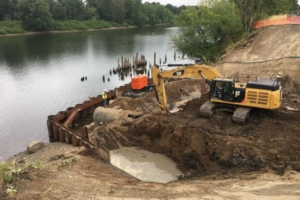
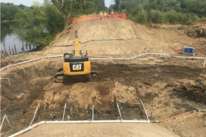
As part of a larger tidal restoration project at the Oaks Bottom Wildlife Refuge an existing 60” diameter culvert was scheduled to be replaced. The culvert runs beneath an embankment topped with the Springwater Trail pedestrian path and the Oregon Pacific Railroad tracks. It allows water to drain from the wildlife refuge on the east side of the embankment to the Willamette River on the west side. It also provides a means of recharging the wetlands as the river level rises due to tidal influence and high-water events.
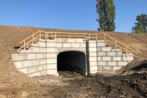
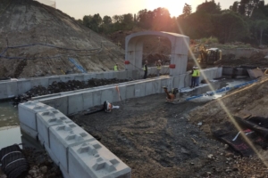
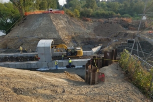
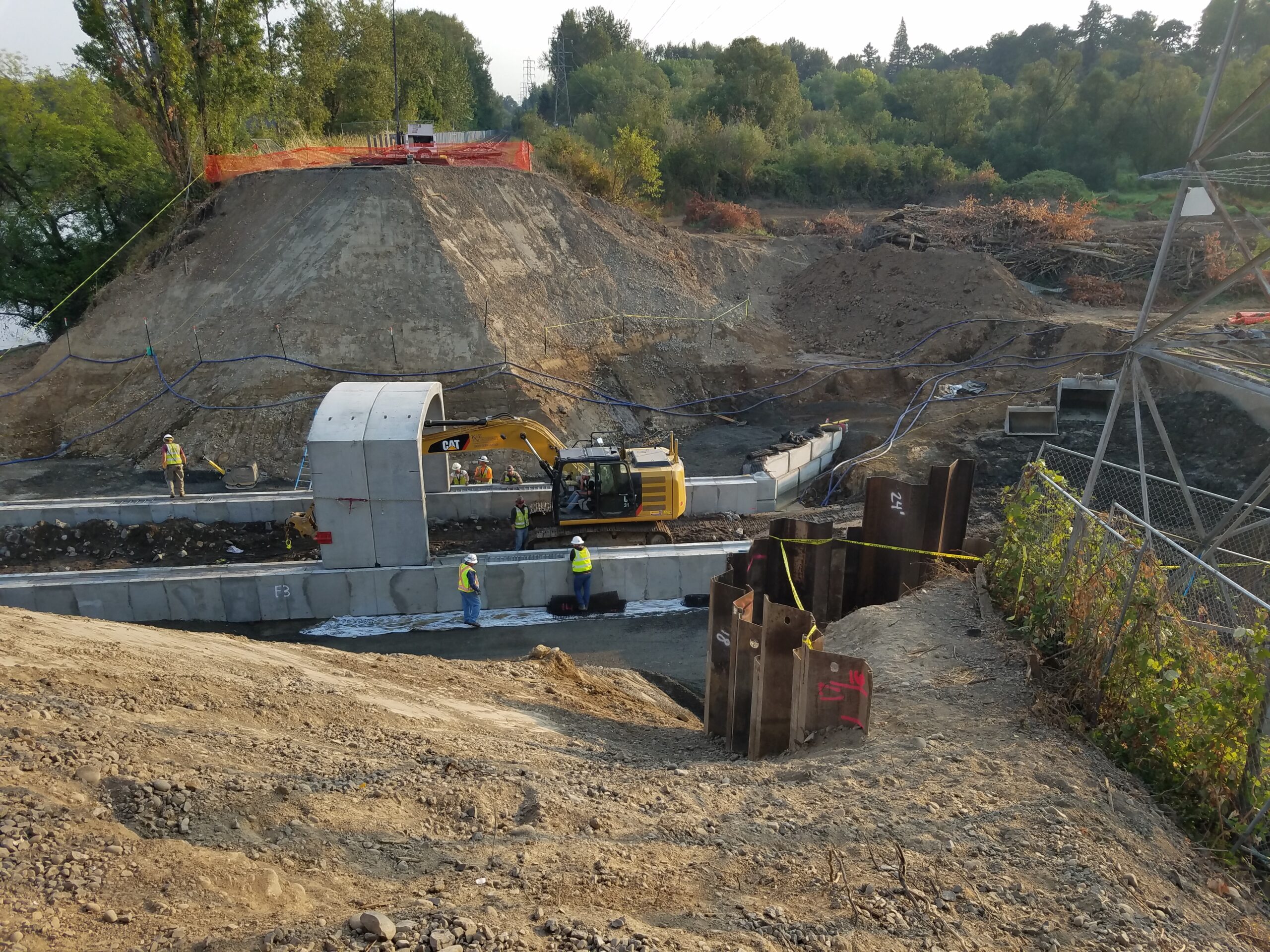
The contract plans for this project called for the length of the new concrete arch culvert to be shorter than the existing pipe thus requiring wingwalls and headwalls to retain the embankment fill at each end of the new culvert. The plans showed schematic segmental block walls but left the design up to the contractor. K&E hired McGee Engineering to provide a design for the retaining walls as well as a temporary shoring wall to support a nearby BPA powerline tower during excavation.
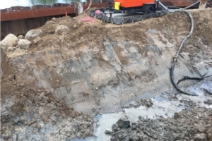
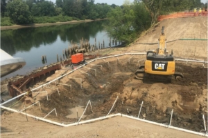
Geotechnical information for this site showed the embankment to be built of poorly compacted granular fill. Beneath the fill is an approximately 6’ layer of very soft clayey silt which overlays a layer of medium dense sand. McGee Engineering designed mechanically stabilized earth (MSE) wingwalls and headwalls using Ultrablock concrete blocks for the facing. Due to the poor quality of the fill and subgrade it was necessary to excavate down to the sand layer and backfill with stabilization rock to provide adequate bearing for the MSE walls. Compacted granular material was used in the MSE wall fill. Beyond the extents of the reinforced fill the existing embankment fill was reused with compaction to 95% of maximum dry density.
The poorly compacted embankment fill had to be excavated at a 1.5:1 slope which meant the slope would reach a nearby BPA powerline tower that is located on the east slope of the embankment. In order to protect the tower McGee Engineering designed temporary sheet pile shoring walls.
Project Gallery:
Click on an image to see it larger

